
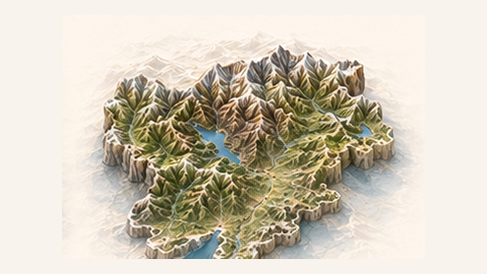
Laives to Vadena on the Adige cycle route
A short cycle connection on the South Tyrol valley floor, from Laives toward Vadena. The route is almost flat and is also suitable for…
View route →Alpine routes and valley-floor cycleways with the essential data you need to compare elevation gain, surface, riding time and services.
AI BIKE UP · REGIONETrentino-Alto AdigeDolomiti10 published routesRide Trentino-Alto Adige10 results · 10 published in the region
A short cycle connection on the South Tyrol valley floor, from Laives toward Vadena. The route is almost flat and is also suitable for…
View route →A short and mostly flat branch across the Piana Rotaliana, through vineyards and links with the Adige corridor. Smooth surfaces and minimal gradients make…
View route →A short cycle section through the spectacular Limarò gorge above the Sarca. Its limited distance makes it suitable for a short ride or as…
View route →An urban cycle crossing of Bolzano linking the hospital area with Maso della Pieve and San Giacomo. It is a practical, mostly flat route…
View route →A cycle route descending from Val Fiscalina through the Sesto Dolomites landscape and continuing toward Dobbiaco. The mixed surface suits gravel bikes, e-bikes and…
View route →An MTB loop in the heart of Val Gardena, between villages, woods and Dolomite views. Sustained climbs and some trail sections require fitness and…
View route →A high-altitude loop between the mountain huts of Alpe di Siusi, on gravel roads and Alpine links. The scenery is continuous, but gradients and…
View route →A valley-floor cycle route along the Sarca through villages, meadows and views of the Brenta group. Gradients are approachable, although the route climbs steadily…
View route →An MTB loop around the Puflatsch massif above Alpe di Siusi. It alternates forest roads and Alpine surfaces with steep gradients and wide Dolomite…
View route →A major MTB traverse across the mountains between Storo and the Ledro Valley, passing through the Tremalzo area. Variable surfaces, altitude and elevation gain…
View route →Mappe © OpenStreetMap contributors.